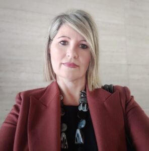
Montserrat Monteagudo Gómez
BIM World MUNICH 2025
About
With over 28 years in municipal cartography, Montserrat Monteagudo has led projects such as the 3D Metropolitan Topographic Map at 1:1,000 scale for the Barcelona Metropolitan Area, connecting GIS and BIM through IFC territorial models. She promotes open geographic data, applies innovative technologies, and participates in national and regional commissions to improve data quality and interoperability.

